In recent years, historic trails and footpaths all over Italy have found an increased popularity with tourists looking to connect to the area they are visiting in a more authentic way: we can see why as, after all, this is an activity that can be performed without tourist guides (and the like) and even by yourself!
The Blue Trail and the Path of Love in the Cinque Terre National Park were among the first ones of many such itineraries to reach a widespread favor, but in recent years the same amount of interest attracted more and more travelers to routes as the Path of Gods in the Amalfi Coast and, of course, the Via Francigena.
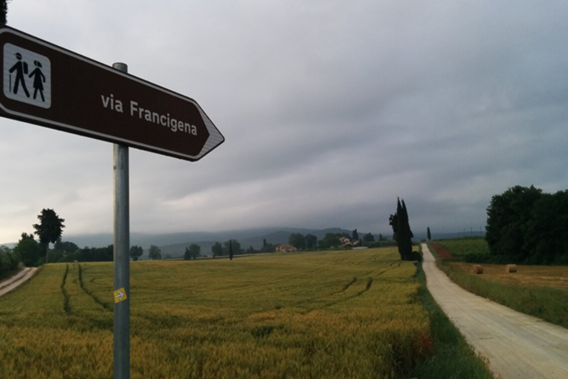
Via Francigena: the oldest footpath across Italy
For those unfamiliar with it, the Via Francigena is the “Italian” equivalent to the Camino de Santiago. We put Italian in brackets as Italy, obviously, was not a country when the route was first established. The comparison to the Camino is not so far-fetched: in fact, along with Santiago de Compostela and Jerusalem, walking to Rome was one of the major destinations for a pilgrim, and these three routes were heavily followed beginning in the early Middle Ages.
While it originally blossomed into many different variants along the way before getting to Rome (this was mostly to touch on bigger cities where more pilgrims could join in), the main Via Francigena departs from Canterbury, crossing the English Channel at Dover and arriving into what is now Italy by passing through France and Switzerland.
It is over 3000 kilometers long, but in spite of the areas it crosses, including the Alps and major forests it is a doable feat, even for the uninitiated, at least in installments. And you have the easiest one right outside the Eternal City, as the countryside turns into a busy, chaotic place.
Where is the Via Francigena in Rome?
A pilgrim en route, photo by Jon Tyson from Unsplash.com
The very first person to map the Via Francigena was Sigeric, archbishop of Canterbury, who did so himself around the year 990 CE.
In the Lazio region, the Via Francigena passed by Viterbo and the small towns along the way, southbound to Rome.
Of course the point of arrival for all pilgrims coming to Rome has historically been the Vatican area, so when looking at a map we need to consider the outer parts of the city north of that.
Locating these areas is quite easy, actually, and reaching them by public transport if you’re already staying in Rome is even more convenient.
Generally speaking, the start of the last stretch of the Via Francigena route is considered to be the parish church in the La Storta district: this is extremely recognizable as it sits on top of a hill and can be seen from a distance.
For those interested, the church in question, which is actually the Cathedral of Holy Hearts of Mary and Jesus (Cattedrale dei Sacri Cuori di Gesù e Maria), was a later addition in the area.
Original travelers used to stop by a smaller affair, the Chapel of the Vision (Cappella della Visione), which takes its name from the vision had by none other than Saint Ignatius of Loyola, himself a pilgrim en route to Rome: the episode prompted him to establish the Society of Jesus (the famous Jesuits). Both churches are just minutes away from the La Storta train stop, one of the main stations along railway line FL3, roughly 30 minutes from the Roma San Pietro and the Valle Aurelia stations.
Walking south towards the Vatican from either church, you will walk along the modern Via Cassia, which lies on top of the ancient Roman road by the same name.
You should see frequent signage for the Via Francigena, but in the event you can’t locate it, also look for directions to the Parco dell’Insugherata: the footpath (known as Via dell’Acqua Traversa on most maps) goes through the park, with an entrance on Via Cassia, 1081 and has its exit on Via Augusto Conti: walk to the end of this one until you encounter Via Trionfale and the park for the former asylum at Santa Maria della Pietà. From there you can continue walking towards the Vatican by using the (very well marked) bike lane that starts outside the complex. Downhill from the park and the former asylum is the Roma Monte Mario train station: remember the name as the bike line passes by it and it’s a good landmark!
We talked about the very same bike lane here: it has been built by using the decommissioned railway Roma-Viterbo, and so it touches by other train stations: Roma Balduina, Gemelli, Appiano, Valle Aurelia. From Valle Aurelia itself, atop Monte Ciocci, you will not only be able to enjoy the view of St. Peter’s, but you will reach it in no time walking down Via Angelo Emo, outside the train/subway station at Valle Aurelia, climbing the staircase on Via Vittor Pisani. Follow the Vatican Walls downhill to get to the Basilica proper!
This stretch is about 17 kilometers long (roughly 10 miles) and it includes the original Via Francigena itinerary, as well as those “compromises” made necessary by the urban development in Rome, so you will find alternating between protected areas and cityscapes.
Is the Via Francigena only for the devout?
Absolutely not! While many Christians walk the Francigena yearly, the fact that part of the trail passes through the city has made it approachable to lovers of the outdoors more generally speaking, so you will find you’re rarely by yourself on there, and will be sharing the route with all kinds of people, including teenagers, young families and sports enthusiasts.
What about the “Southern Via Francigena”?
Because pilgrims rarely stopped in Rome but kept walking to Jerusalem by way of Brindisi or Bari (where they boarded ships to the Middle East”) it’s common to speak of a “Via Francigena del sud”, a “southern Via Francigena” although that is not part of the original itinerary. Walking towards the South of Italy includes covering the Appian Way, which older segments are particularly recommended to visitors.
Other notable religious trails in the Lazio region
Of course the Via Francigena is very well known worldwide, but is in no way the only footpath for pilgrims near Rome. One other example is TheWay of St. Benedict, which route you can see at this address.
A similar one is the The Way of St. Francis, which is not recommended to hiking beginners (at least not in its entirety). Better to explore only the segments in and around Rome proper, ie. from the town of Monterotondo to the Monte Sacro district and from there to Vatican City. You can see a map for the latter stretch here (website in Italian).


Join The Discussion